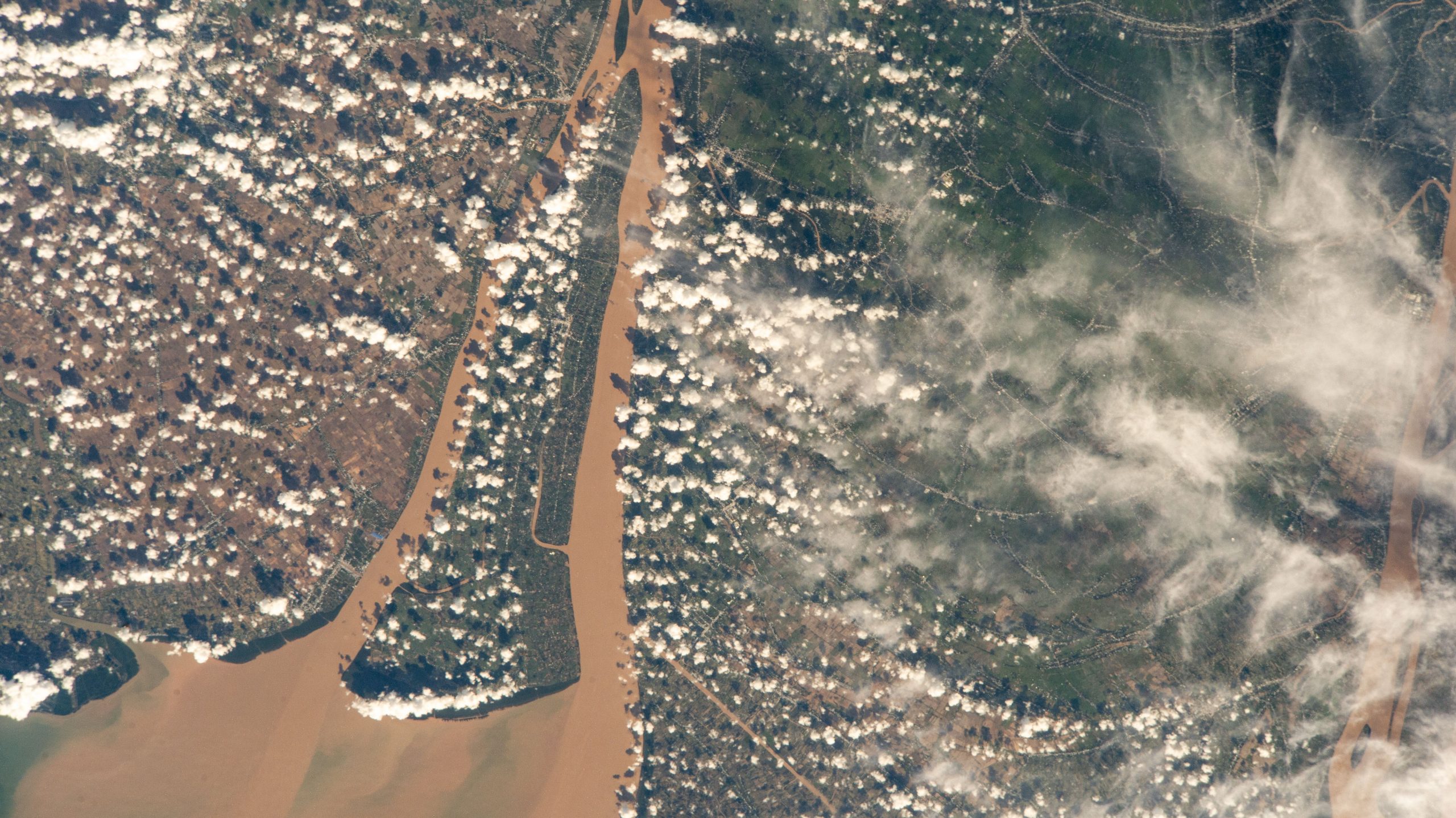
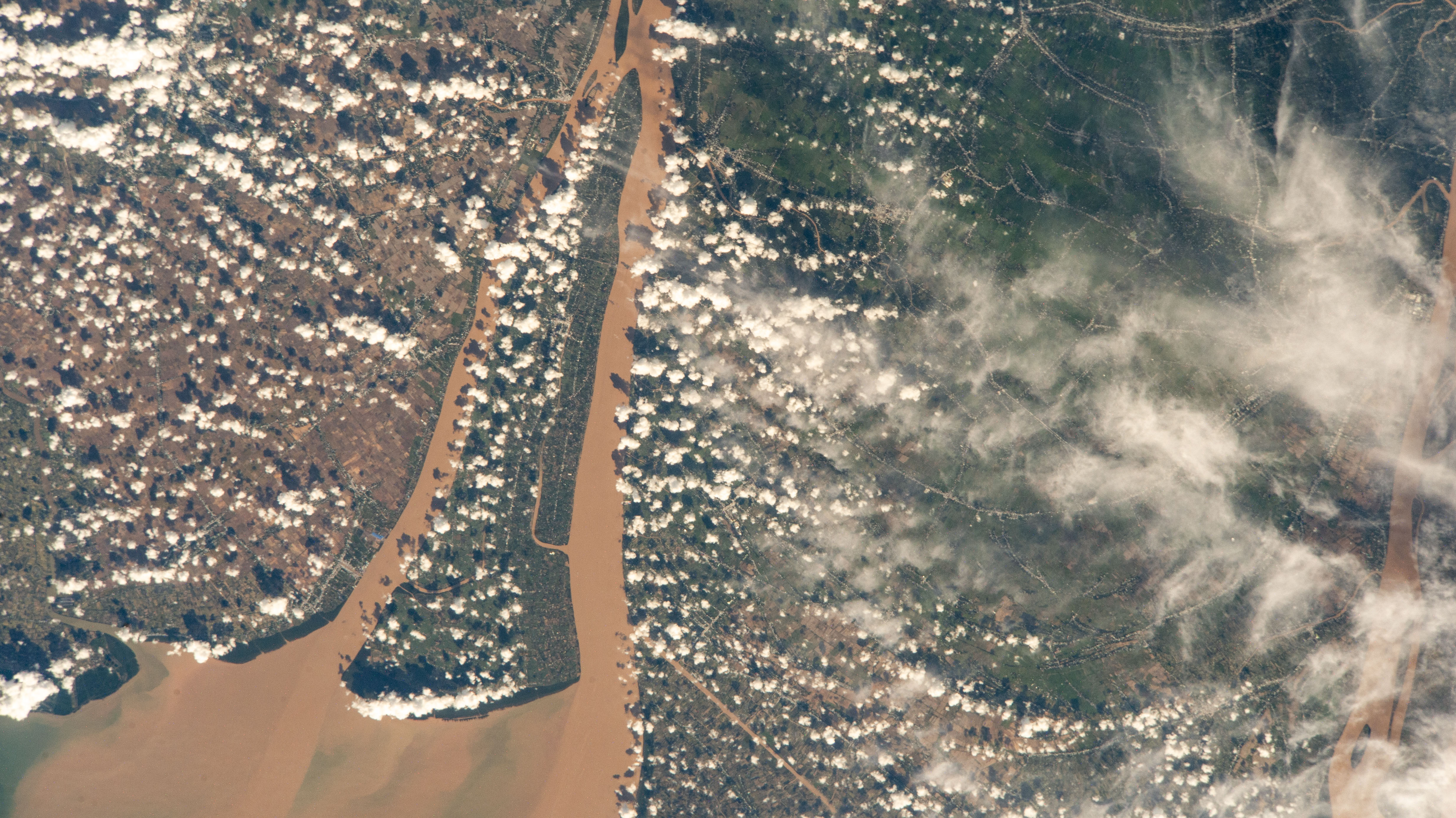
The Bassac River surrounds Cù Lao Dung, a river islet district in southern Vietnam, before emptying into the South China Sea.
Read More

The Bassac River surrounds Cù Lao Dung, a river islet district in southern Vietnam, before emptying into the South China Sea.
Read More


CNA Staff, Nov 4, 2025 / 06:30 am (CNA).
Catholic schools are faring much better in dioceses in which state-funded voucher programs are available for parents to use to pay school tuition, one researcher has found, though enrollment is still declining in most places.
John F. Quinn, a historian at Salve Regina University in Rhode Island, examined six Catholic dioceses over the last 16 years — three in states with voucher programs and three in states without them — and found that parochial schools are benefiting from vouchers.
He presented his research at the Society of Catholic Social Scientists’ annual conference at Franciscan University of Steubenville, Ohio, in October.
Quinn found that since 2009, the dioceses of Providence, Rhode Island; Fall River, Massachusetts; and Rockford, Illinois — none of which are located in states with voucher programs — have seen school closures and drops, some very large, in their parochial school enrollment.
Providence schools have seen a two-thirds drop, from 16,000 students in 2009 to about 10,000 in 2025, according to the historian.
The Diocese of Fall River, meanwhile, saw a 36% drop in enrollment, going from 7,800 students in 2009 to 5,000 in 2025. Rockford’s diocese saw a precipitous 52% drop, with 15,500 students in 2009 and 7,400 today. All three dioceses also saw multiple parochial school closures.
The numbers are very different in the dioceses in states that have voucher programs.
According to Quinn, the Archdiocese of Indianapolis only saw its enrollment numbers drop 3% since 2009. Nearly 23,000 were enrolled in its parochial schools in 2009, and the number stands at 22,300 today. The overall population of the archdiocese has also dropped 5% over the same time period, he noted.
Indiana’s Choice Scholarship Program was launched in 2011 and expanded to nearly all residents in 2025.
Two other dioceses, Orlando and Venice, are both in Florida, a state that approved its voucher program in 1999 and expanded it significantly in 2023.
The Diocese of Orlando has seen a 13% drop, going from 14,500 students in 2009 to 12,750 in 2025.
The Diocese of Venice, a relatively new one established in 1984, has seen a 52% increase in parish school enrollment since 2009 and growth in its number of parochial schools. In 2009, 4,400 students attended three high schools and 10 elementary schools, and today there are four high schools and 12 elementary schools with an enrollment of 6,800.
Quinn acknowledged that Florida has a growing population but said even taking that into account, the voucher programs have indisputably aided the Catholic schools there.
“We are full up with nearly every school at capacity,” Father John Belmonte, SJ, Diocese of Venice Superintendent of Catholic Education, said in September.
“America’s Catholic leaders have long seen parochial schools as critical to the well-being of the Church in America,” Quinn noted.
He recalled the Third Plenary Council of Baltimore in 1884, at which the bishops “called for every parish to have a school and for all Catholic parents to send their children” to them.
Quinn noted that pastors would sometimes build a parish school first before completing the church building.
In 1965, the high point of parochial school enrollment, 52% of American Catholic children, or 5.2 million students, were enrolled at 13,000 Catholic grammar and high schools.
Quinn cited the National Catholic Educational Association’s annual report, released in the spring, that showed just under 1.7 million students are currently enrolled in the nation’s current 8,500 parochial schools.
In 1965, nearly 70% of all parochial school teachers, or 115,607, were religious sisters, priests, or brothers, according to the Cardinal Newman Society.
By 1990, only 2.5% of parochial school faculty were priests or religious, and that number remains the same today.
Quinn said costs started rising as more lay teachers replaced religious and priests in the classroom.
Read More

| Picture of the day |
|---|
|
|
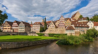
View of the old town of Schwäbisch Hall, Germany, seen from the islet Unterwöhrd in the river Kocher.
|

| Picture of the day |
|---|

|
|
Rama VIII Bridge over the Chao Phraya River in Bangkok, Thailand, seen just after sunrise
|

| Picture of the day |
|---|

|
|
Water reflection of sunset with gray and orange clouds over the Xe Don River, and three boats moored to the bank in Pakse, Laos.
|


| Picture of the day |
|---|

|
|
Khone Phapheng Falls, Si Phan Don, Laos. Located on the Mekong River near the border with Cambodia, at 10.7 kilometres (6.6 mi) wide, it is the widest waterfall in the world.
|


In the Style of Dadaism create an image of Julius Caesar standing by the rubicon river – A Roman general – He had a prominent nose- receding hairline- and piercing eyes. — using Psychedelic Color
Read More