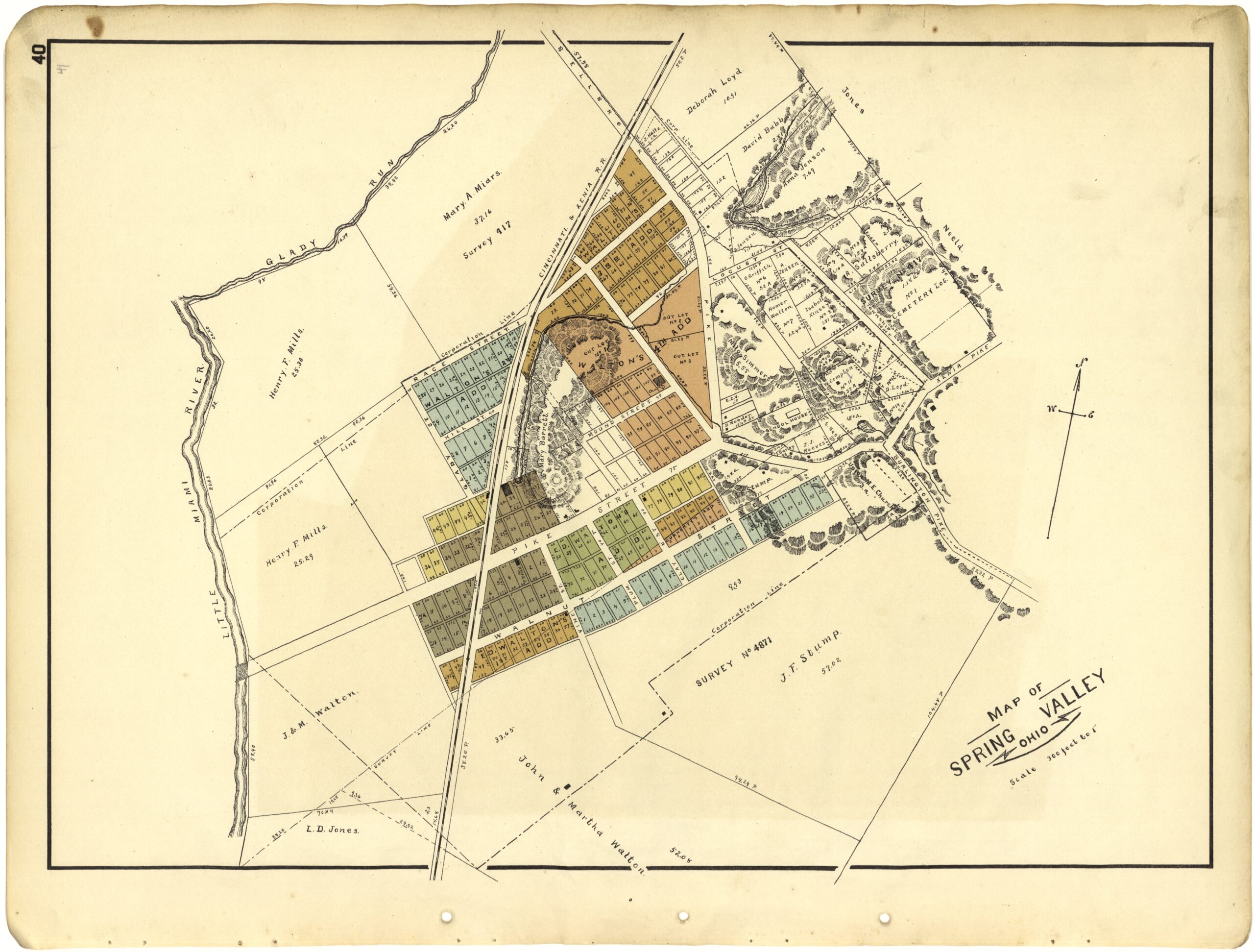
Explore the fertile history of America’s soil survey maps, which evolved alongside soil science over the course of the 20th century.
Read MoreThis post explores the history of a large spherical globe with only latitude and longitude lines in the collections of the Geography & Map Division.
Read MoreThis post describes a manuscript globe of Mars that was created during the early 20th century by the self-taught Danish astronomer Emmy Ingeborg Brun.
Read MoreExcitement about the 2024 Paris Summer Olympics is sweeping our own nation’s capital, as it is in so many places around the world. Here at the Library of Congress, we’re certainly marking the occasion. The Informal Learning Office (ILO) recently hosted an Olympics-themed Family Day, and afterward they published a blog post about it where …
Read MoreMiller Jaquet, Junior Fellow in the Geography and Map Division, explores the cartography of West Africa and what maps reveal about power, politics, and how we got HERE.
Read MoreApplications are now open for Philip Lee Phillips Society Fellowship at the Library of Congress. Scholars of the history of cartography, Geographic Information Science (GIS), digital humanities or related fields are encouraged to apply for this fellowship utilizing the collections of the Geography and Map Division.
Read MoreThis post features selected maps that were created under the auspices of the Federal Writers’ Project.
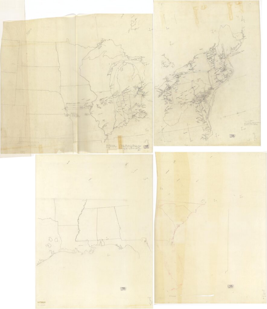
Read MoreAn exploration of the thousands of maps held in the Geography and Map Division that are photocopies, including those from many 20th century wars.
Read More