
This week’s post features the qibla compass pictured above. This remarkable geographical instrument was recently added to the Geography and Map Division’s collections.
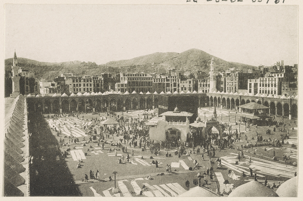
The qibla is the direction of the Sacred Mosque in Mecca where Muslims turn for prayer. A qibla compass, also known as a qibla indicator, is used to find the direction of the Kaaba, a stone building located in the courtyard of the Sacred Mosque.
The qibla compass featured in this post was made in Turkey during the Ottoman Empire. The year of its creation is unknown but is believed to date back to the 18th or early 19th century.
The lid includes a picture of the Sacred Mosque of Mecca, known as the Masjid al-Haram. An image of the Kaaba is shown in the center of the lid.

A picture of the Kaaba is also shown on the center of the base. A mihrab is a sacred alcove in a mosque that indicates the direction of the qibla. On the base there are four images of mihrabs showing the places of prayer for the four schools of Islamic thought: the Shafi’i, Maliki, Hanbali and Hanafi.
The place names of the cities and regions throughout the Islamic world are shown on the outer rim of the base. The name Qustantina (Constantinople) is printed in red; the other place names are printed in black.
Five daily prayers are observed in Islam: the Fajr, Dhuhr, ‘Asr, Maghrib, and Isha. The sundial is used to determine the time of the ‘Asr prayer which is observed in the late afternoon.

This qibla compass is stored in a green circular box decorated with a floral pattern. Both the indicator and box were decorated in the Edirnekari style which has its roots in Edirne, Turkey. Artisans were taught the Edirnekari technique in workshops located in Edirne and Istanbul. Edirnekari artists often used floral patterns and green and yellow hues in their work.

Many antique scientific instruments are held in the Geography and Map Division; however, this is the first qibla indicator to be acquired for our collections. This meticulously crafted qibla compass is a valuable addition to the holdings of the Geography and Map Division.
Discover More:
- World-maps for finding the direction and distance to Mecca : innovation and tradition in Islamic science by David A. King. The author provides detailed descriptions of the antique instruments that were used for finding the qibla.
- Edirnekari, This online article provides information about the Edirnekari style of decoration.
- Prayer traditions in Africa, the Middle East, and Central Asia. This story map highlights a selection of prayer materials held in the African and Middle Eastern Division, Library of Congress.
- Ottoman Turkish Collections in the Library of Congress. This research guide provides a selected inventory of the Library’s Ottoman Turkish Collections.
- The Hajj to Mecca by Huda Dayton. The author of this post discusses the annual Islamic pilgrimage to Mecca in the blog 4 Corners of the World International Collections at the Library of Congress.