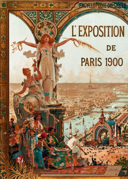


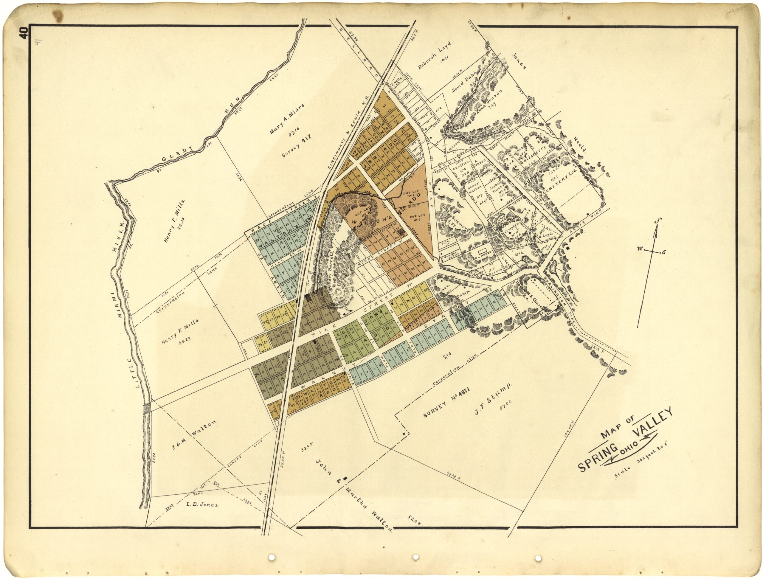
Applications are now open for Philip Lee Phillips Society Fellowship at the Library of Congress. Scholars of the history of cartography, Geographic Information Science (GIS), digital humanities or related fields are encouraged to apply for this fellowship utilizing the collections of the Geography and Map Division.
Read More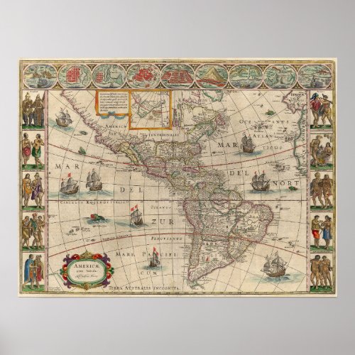
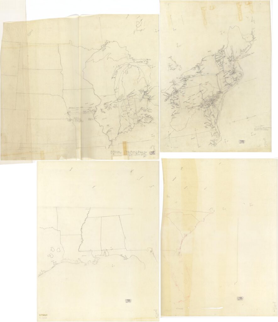
This post features selected maps that were created under the auspices of the Federal Writers’ Project.
Read More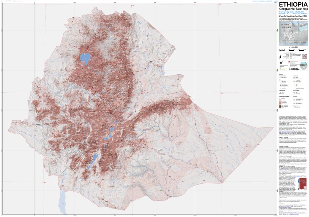
This post spotlights born-digital, georeferenced map series from the MapServer Ethiopia project, which provides modern mapping of Ethiopia at five different scales, across multiple themes.
Read More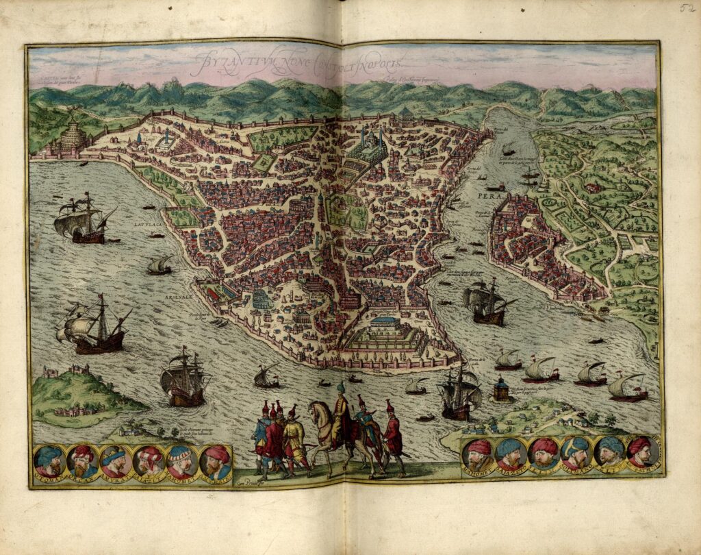
Learn more about the maps on display at the new experiential exhibition at the Library of Congress.
Read More
Historic Map, Art meets cartography, 1621 Map of South America and North America, Ameria nova Tabula; Nieuwe kaart van Amerika – Willem Blaeu
Read More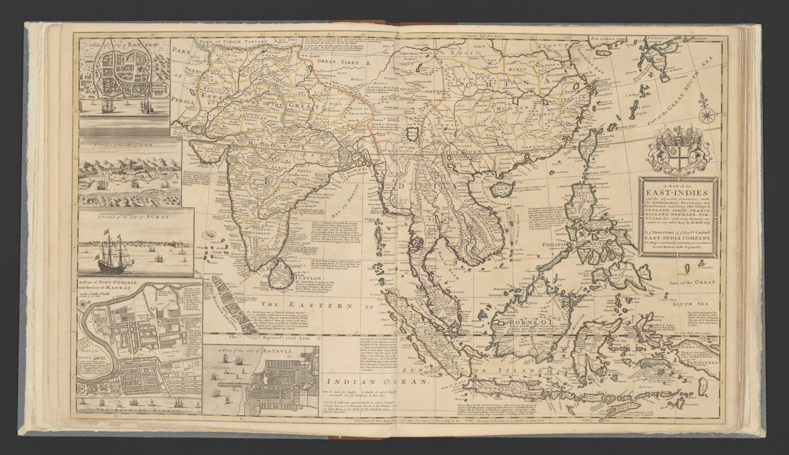
An insight into early 18th century trade in the East-Indies focusing on the English East Indies Company and the 1721-1723 trade voyage of the ship Townsend revealed through the maps of British cartographer Herman Moll.
Read More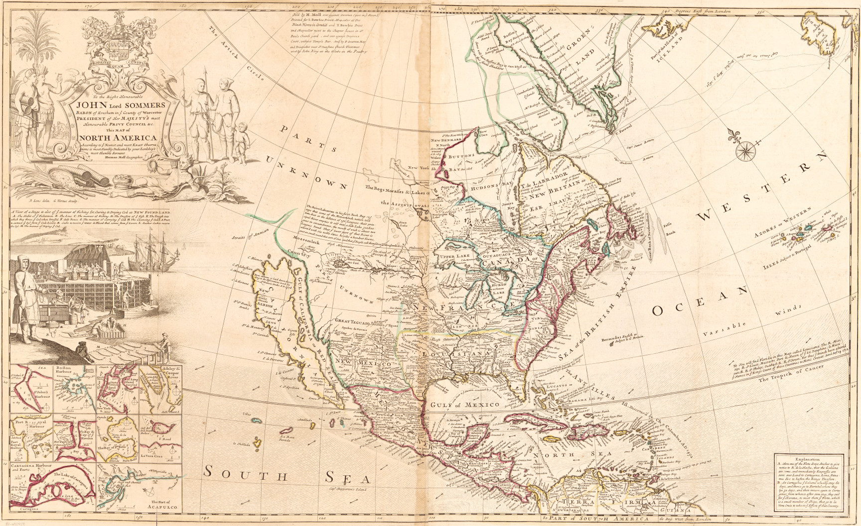
Maps showing cod and beavers in an 18th-century atlas project imperial power and economic might.
Read More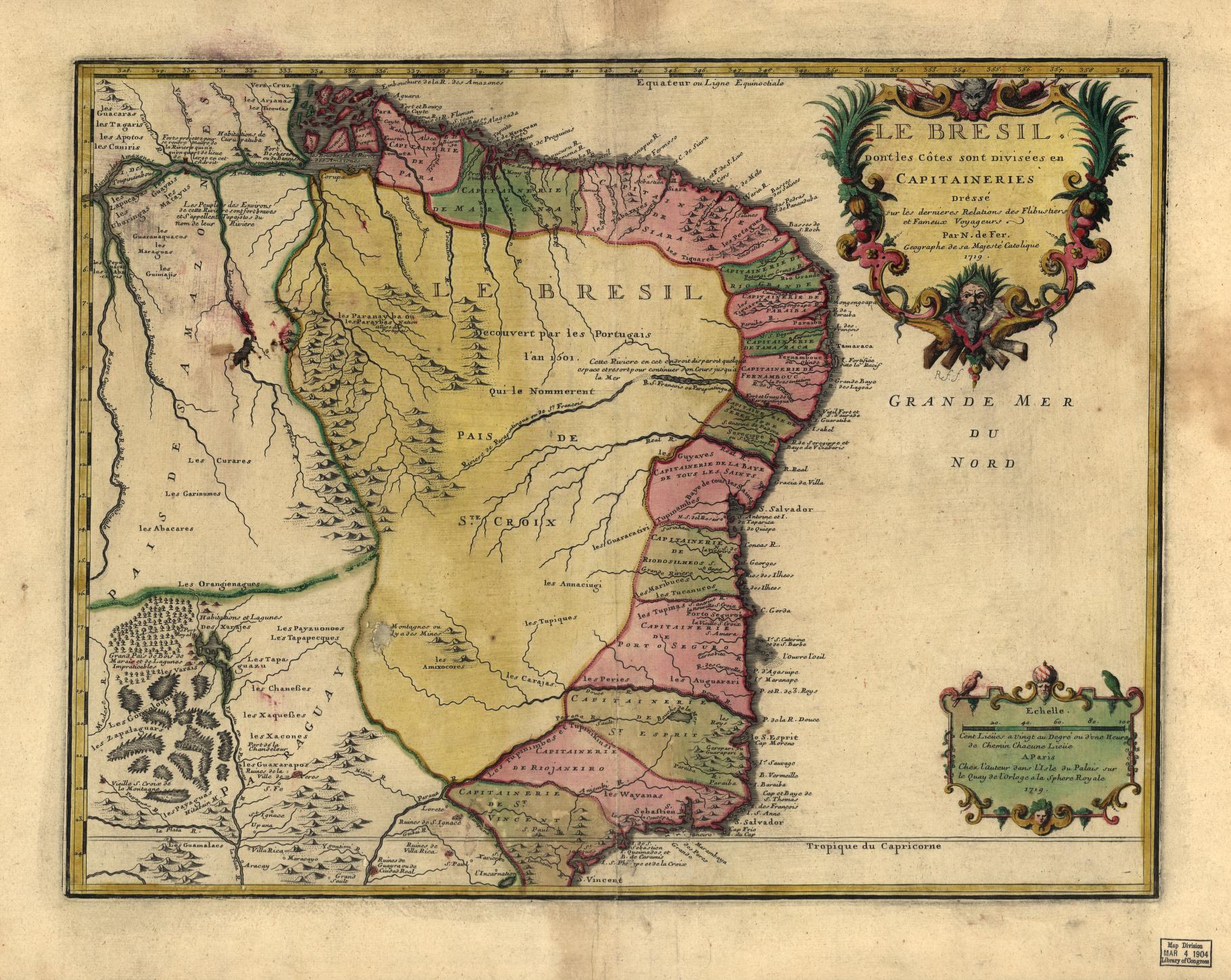
Curious about our collections? Please join Geography and Map Division staff next week for a virtual orientation to our collections and resources!
Read More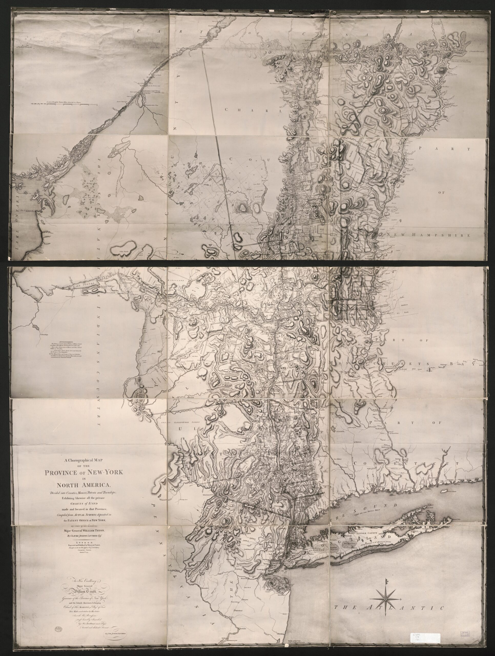
An exploration of the thousands of maps held in the Geography and Map Division that are photocopies, including those from many 20th century wars.
Read More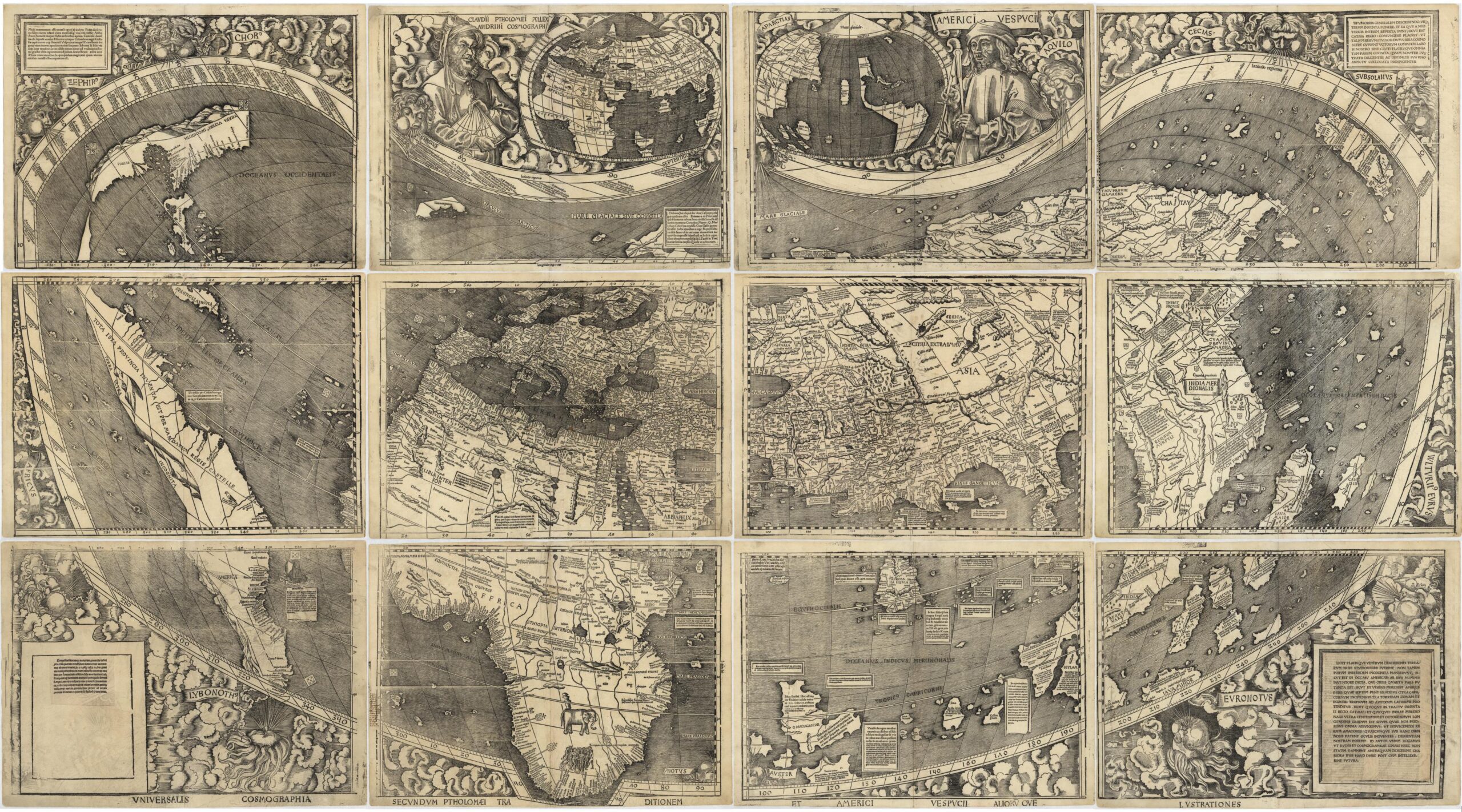
This second post in the Fabricating the World series explores mapmaking with woodblock printing.
Read More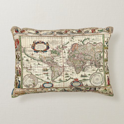
Historic Map, Art meets cartography, 1621 Map of South America and North America, Ameria nova Tabula; Nieuwe kaart van Amerika – Willem Blaeu
Read More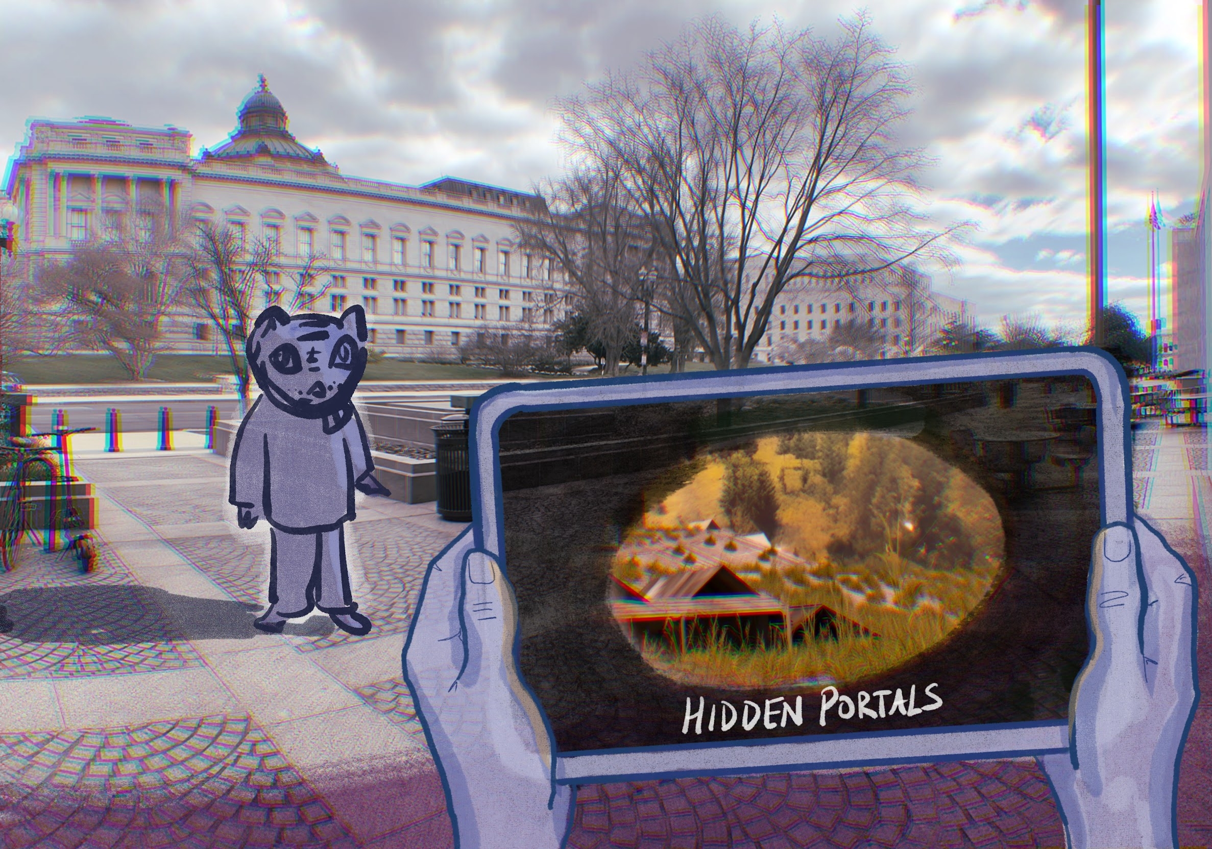
In honor of Asian / Pacific American Heritage Month, Library of Congress 2023-2024 Innovator in Residence Jeffrey Yoo Warren invites the public to experience hidden portals to five historic Asian American communities created with Library of Congress collections for the month of May.
Read More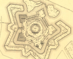
Fascinating maps at various scales tell the story of the Battle of Forts Jackson and St. Philip, a pivotal moment in the Civil War and the contested fight for control of New Orleans and the Mississippi River.
Read More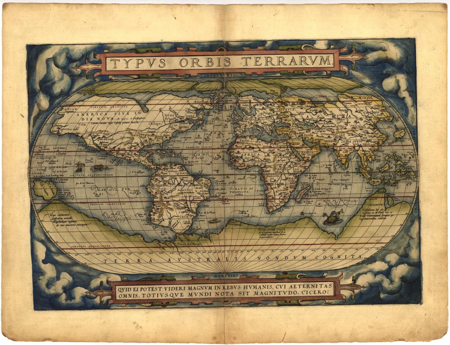
This is a guest post by Lena Denis, reference librarian in the Geography and Map Division. Growing up in a Brazilian-American household, I’ve long appreciated the delicious versatility of the Atlantic cod, scientific name Gadus morhua, known to the Portuguese-speaking world as bacalhau in its preferred salted and dried form. It was only when I …
Read More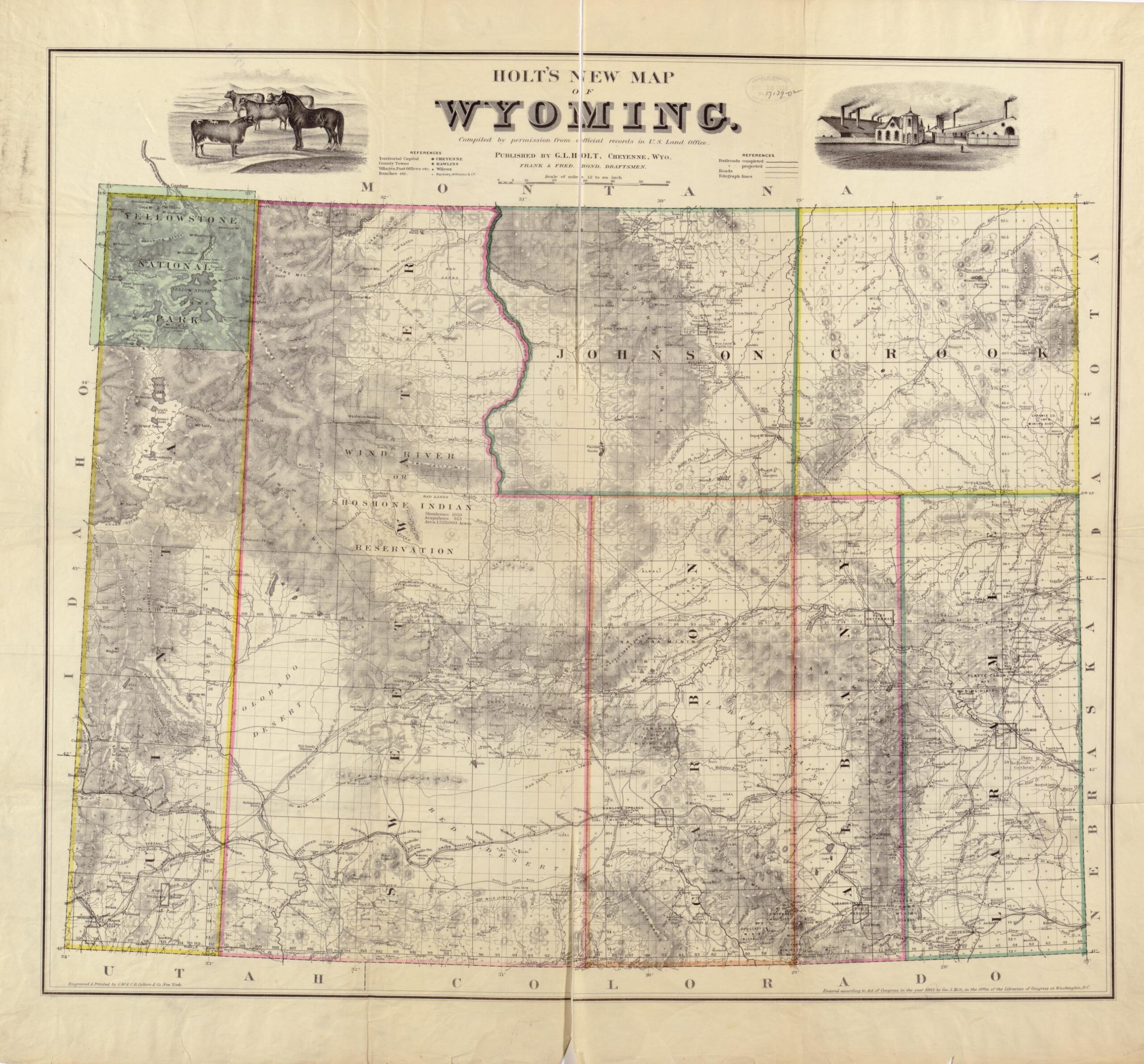
This blog post describes William “Buffalo Bill” Cody’s attempt to irrigate Wyoming’s Big Horn Basin through maps which detail the area.
Read More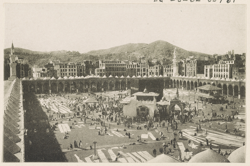
This post features a qibla compass that was recently acquired for the collections of the Geography and Map Division. The qibla compass was made in Turkey during the Ottoman Empire.
Read More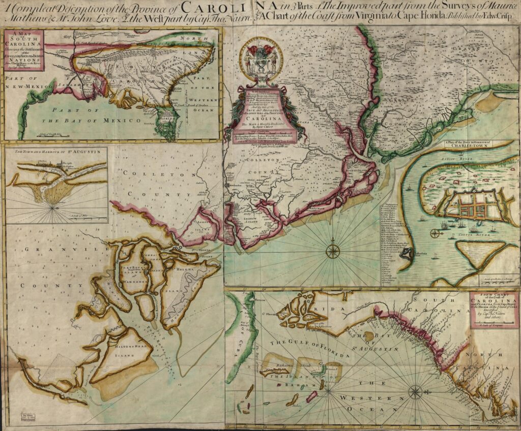
Join us online May 2, 2024, for a Spring Presentation with two conversations on indigenous cartography. At 3:00pm Lauren Beck, Canada Research Chair in Intercultural Encounter and Professor of Visual and Material Culture Studies at Mount Allison University, Canada, will discuss Extractive Place Naming Practices in Early Modern North America. At 5:00pm S. Max Edelson, …
Read More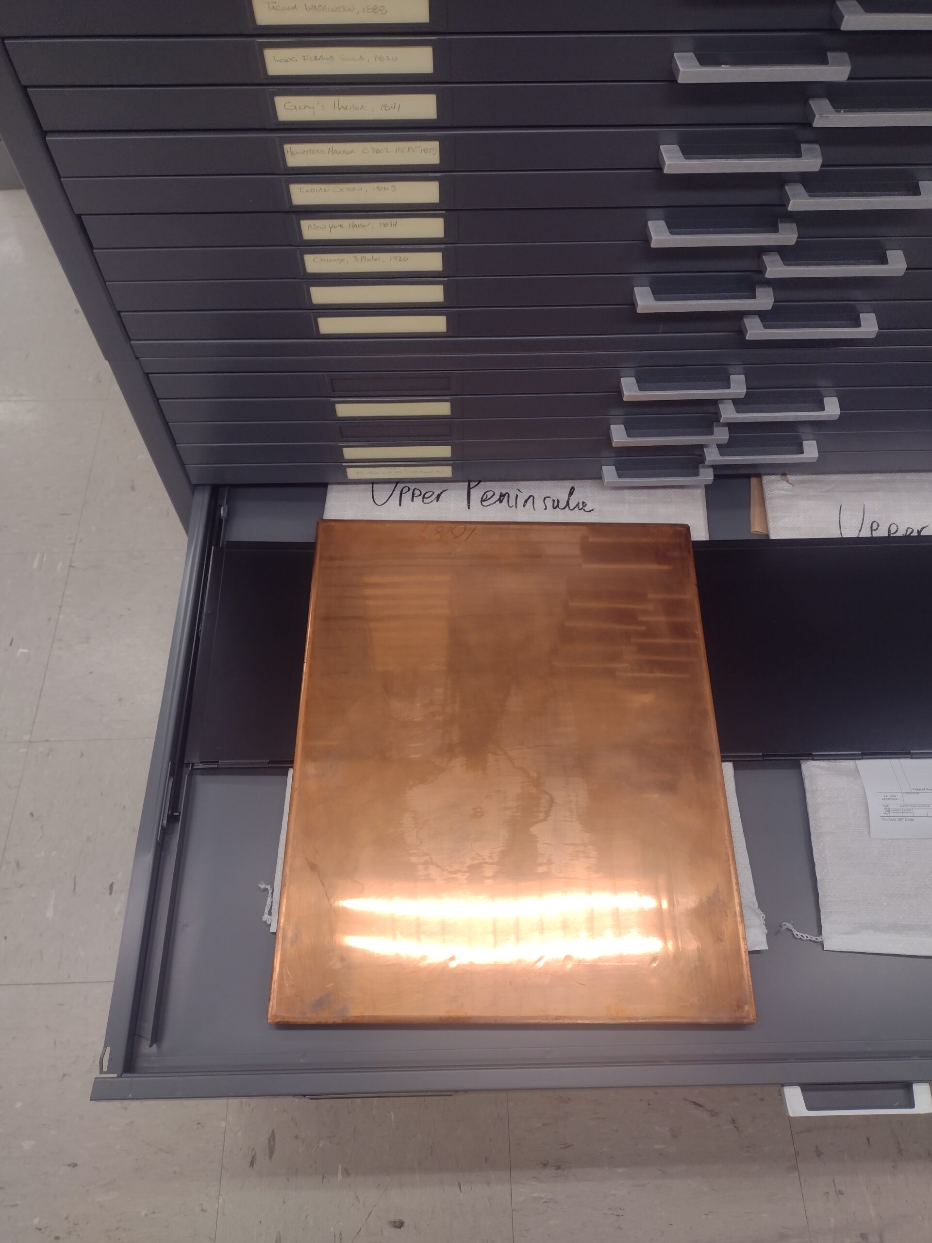
Copperplate printing was a major method of map production for several hundred years. This post explores the history of printing maps with engraved copper plates, featuring several example maps and photographs of copper plates from the Geography and Map Division collections. This is the first post in a new series about map printing and creation, Fabricating the World.
Read More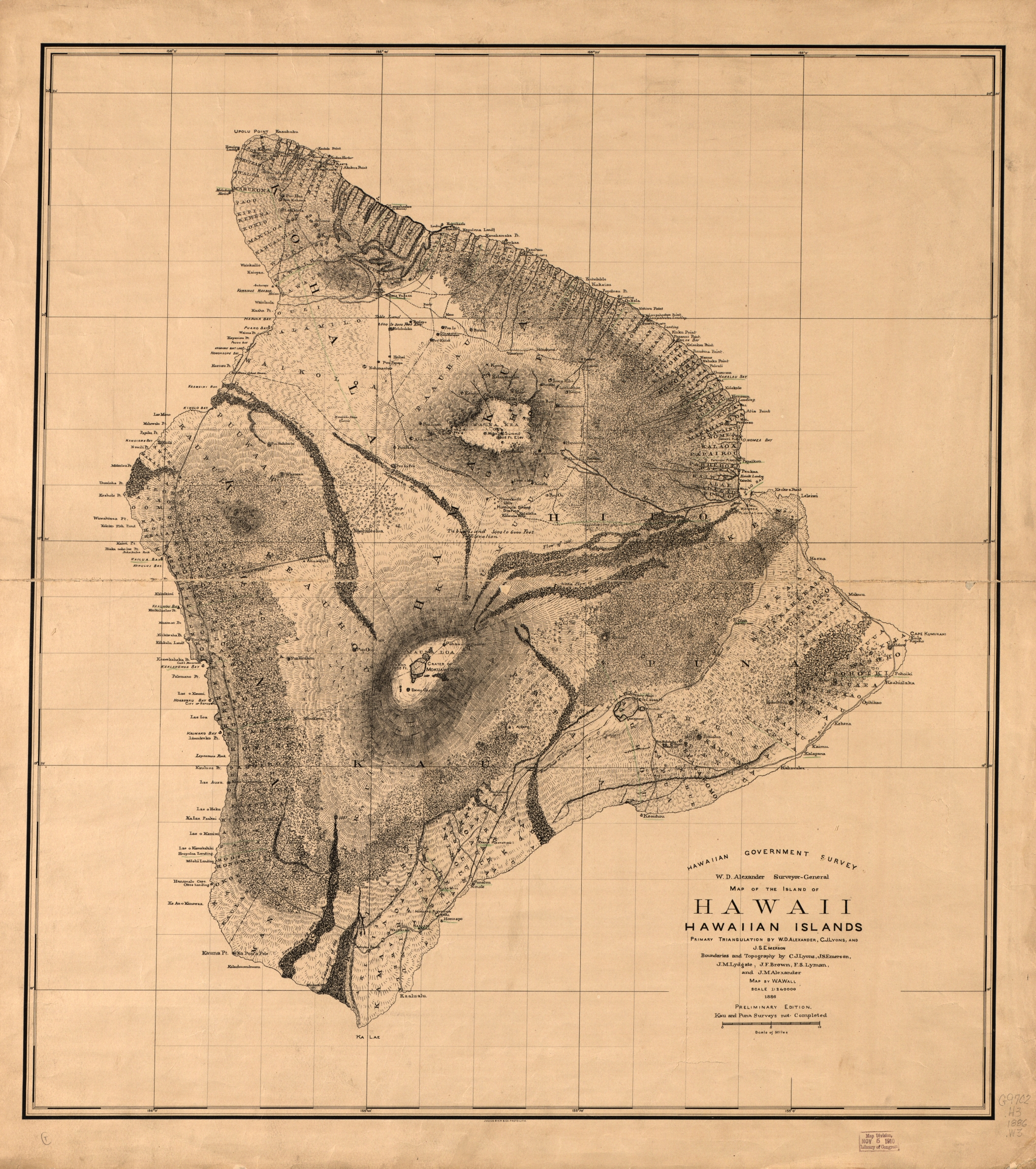
Mauka to Makai: The Ahupua’a of Hawai’i explores the ancient Hawaiian land division system which utilized a cross section of island resources in strips of land running from the ocean to the mountains. Many examples of these biogeographic and geologic resources are covered with Hawaiian nomenclature.
Read More