Join us online May 2, 2024, for a Spring Presentation with two conversations on indigenous cartography.
At 3:00pm Lauren Beck, Canada Research Chair in Intercultural Encounter and Professor of Visual and Material Culture Studies at Mount Allison University, Canada, will discuss Extractive Place Naming Practices in Early Modern North America.
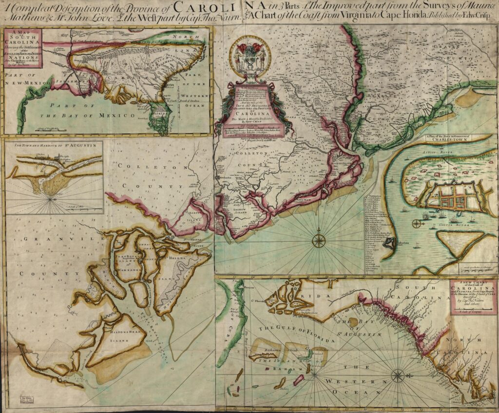
At 5:00pm S. Max Edelson, Professor of History, University of Virginia, will discuss Catawba Cartographies: Remapping the Indigenous Southeast, ca. 1670-1733.
The Spring Presentation is held in support of the Geography and Map Division mission to expand engagement and increase access to resources that inspire, educate, and excite those who explore the largest collection of maps in the world. Register for the talks here.