

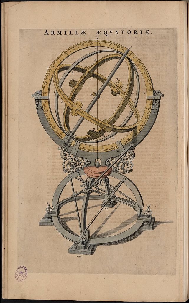
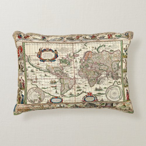
Beautiful reproduction of a copper engravement, this 1621 map of South America and North America looks great every ware. Sea Monsters and Sailing ships roam the Atlantic and Pacific oceans; on land many early settlements are shown. Willem Blaeu, was interested in science and in the winter of 1595, he went to work for the Danish astronomer Tycho Brahe, to make instruments and globes.
Willem Jansz was born the son of a prosperous Mennonite herring merchant. He first worked as a carpenter and clerk for Cornelis Hooft and one of the mayors of Amsterdam who was married to Anna, Willem’s cousin. However, Willem was more interested in science and in the winter of 1595, he went to the Danish island of Ven for six months. There he became an apprentice to the Danish astronomer Tycho Brahe, from whom he learned to make instruments and globes.
Willem and Johannes Blaeu

Top border contains drawings of major cities of The Americas including
Havana
Santa Domingo
Cartagena
Mexico City
Cusco
Potosi
La Mocha in Chili
Side borders contain depictions of Native Americans
1631 was the year in which he published his first atlas, with some 60 maps and accompanying texts. Of these 60 cards, 13 cards had previously been issued by Blaeu. The atlas was partly supplemented with the 37 copper plates that had been taken over from Jodocus Hondius in 1629. The work is known under the title Appendix and was intended to supplement the already known atlases of Ortelius and Mercator. After a year, the work already consisted of two parts with a total of 99 maps. Over the years, the work was further expanded and renewed.
This publication was the second impetus for the fierce competition between the firm Blaeu and the firm Hondius / Janssonius. The latter immediately started copying the maps sold by Jodocus II and included them in their editions of the so-called Mercator- Hondius atlases. Since then, each other’s cards have been used to their heart’s content.
The title of the atlas was changed in 1634 to Theatrum Orbis Terrarum (Tooneel der Wereld), an explicit reference to Ortelius’ atlas (1570) and the first one-volume edition of this was in German. It contained 159 cards. There was now no longer an appendix, it had become a complete atlas. Translations into Dutch, French and Latin followed, and it became two parts again, with about 208 maps. this atlas was also expanded and renewed and consisted of more and more parts.
After Willem Jansz.’s death, the atlas continued to develop. At last the atlas was known under the name Atlas Maior, Grooten Atlas or Geographiae Blavianae. During the 17th century, this atlas would grow into one of the largest and most expensive publications in the field of cartography. Editions are known that consist of 14 different books and contain around 600 cards.
Historic Map, Art meets cartography, 1621 Map of South America and North America, Ameria nova Tabula; Nieuwe kaart van Amerika – Willem Blaeu
History, Art, Map, Vintage, Exploration, cartography, USA, Colonial, Willem Blaeu, Early Map,
Western Hemisphere,