Miller Jaquet, Junior Fellow in the Geography and Map Division, explores the cartography of West Africa and what maps reveal about power, politics, and how we got HERE.
Read MoreApplications are now open for Philip Lee Phillips Society Fellowship at the Library of Congress. Scholars of the history of cartography, Geographic Information Science (GIS), digital humanities or related fields are encouraged to apply for this fellowship utilizing the collections of the Geography and Map Division.
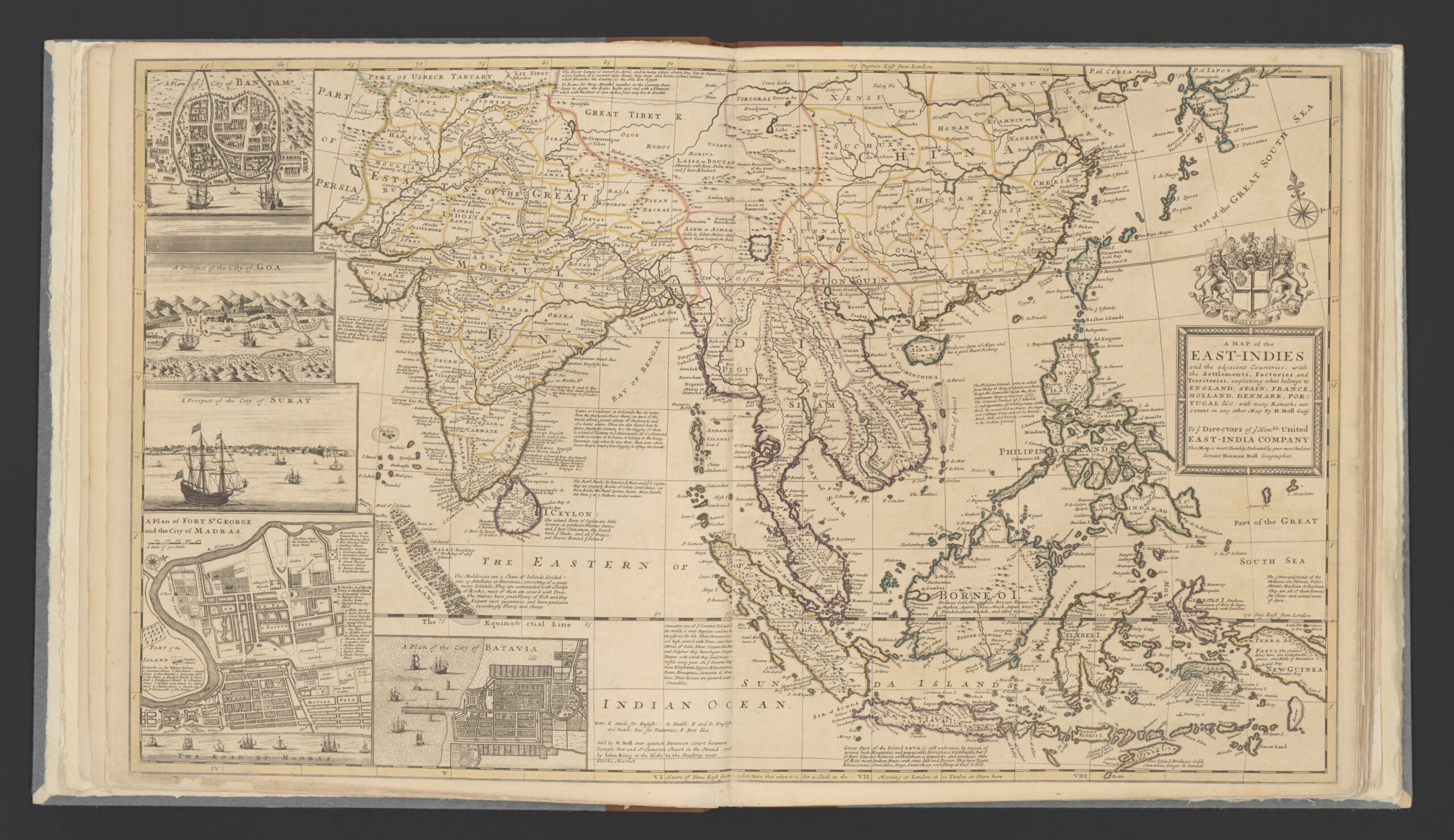
Read MoreAn insight into early 18th century trade in the East-Indies focusing on the English East Indies Company and the 1721-1723 trade voyage of the ship Townsend revealed through the maps of British cartographer Herman Moll.
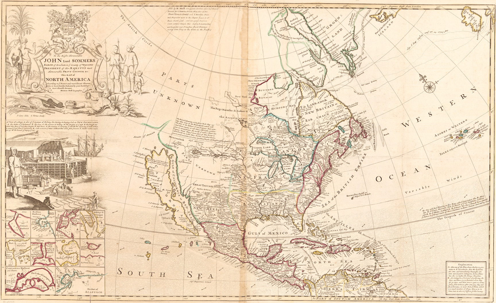
Read MoreMaps showing cod and beavers in an 18th-century atlas project imperial power and economic might.
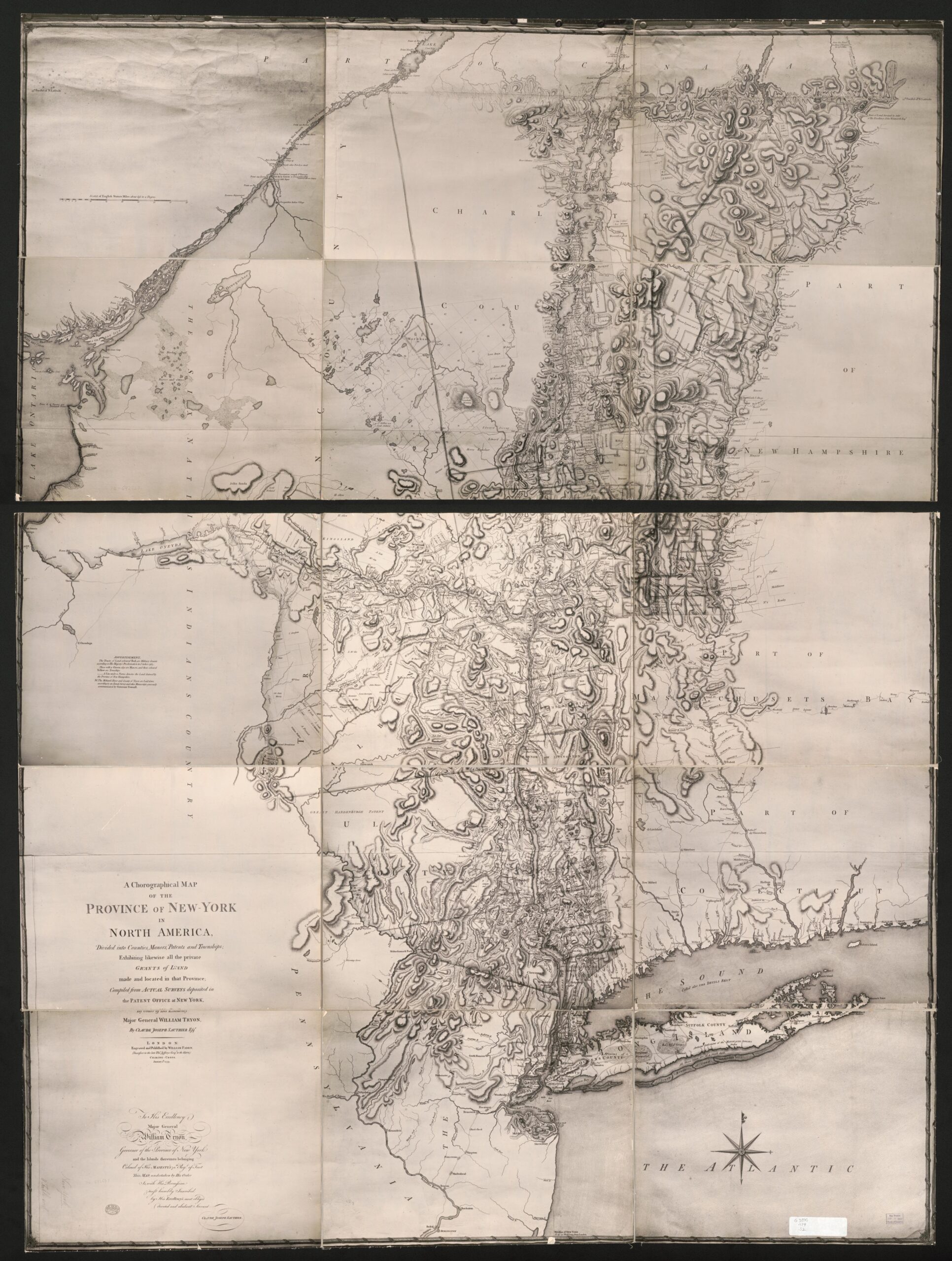
Read MoreAn exploration of the thousands of maps held in the Geography and Map Division that are photocopies, including those from many 20th century wars.
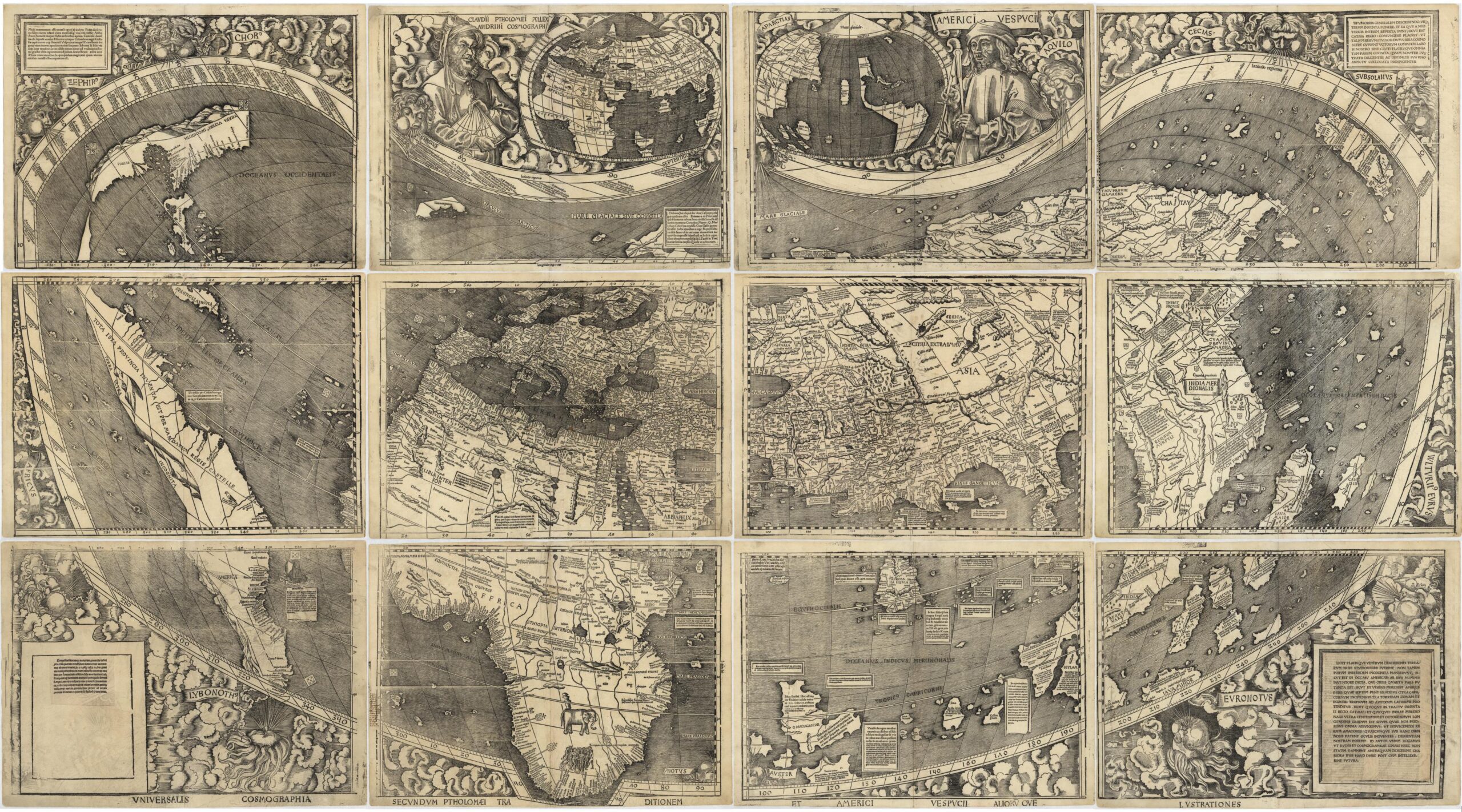
Read MoreThis second post in the Fabricating the World series explores mapmaking with woodblock printing.
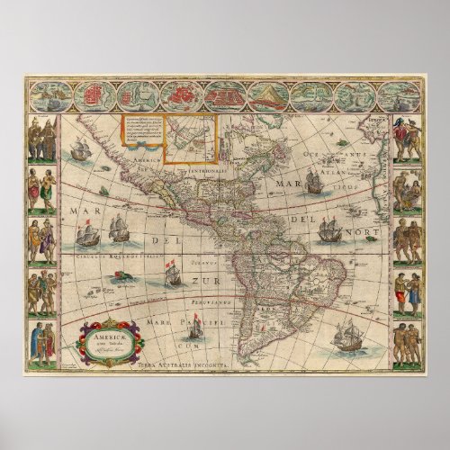
Read MoreHistoric Map, Art meets cartography, 1621 Map of South America and North America, Ameria nova Tabula; Nieuwe kaart van Amerika – Willem Blaeu
Read More