I recently heard a factoid in passing that fascinated me and sparked further investigation: after having been decidedly middle of the pack immediately post-Civil War, the United States’ share of total world manufacturing output became the highest in the world between 1880 and 1900, with a near exponential pace of growth during these decades. Oddly, …
Read MoreThis post explores a unique geologic map. Ives’s strata map, made up of 10 plates representing different geologic periods, was designed as a tool for instruction in schools and colleges in the late 19th century.
Read MoreThis post walks you through the 285-day trip of Hawaii King Kalākaua as the first monarch to circumnavigate the globe in 1881, showing many of the routes and places he traveled or visited through maps and images at or near the time period.
Read MoreThis post describes a manuscript globe of Mars that was created during the early 20th century by the self-taught Danish astronomer Emmy Ingeborg Brun.
Read MoreExcitement about the 2024 Paris Summer Olympics is sweeping our own nation’s capital, as it is in so many places around the world. Here at the Library of Congress, we’re certainly marking the occasion. The Informal Learning Office (ILO) recently hosted an Olympics-themed Family Day, and afterward they published a blog post about it where …
Read MoreMiller Jaquet, Junior Fellow in the Geography and Map Division, explores the cartography of West Africa and what maps reveal about power, politics, and how we got HERE.
Read MoreApplications are now open for Philip Lee Phillips Society Fellowship at the Library of Congress. Scholars of the history of cartography, Geographic Information Science (GIS), digital humanities or related fields are encouraged to apply for this fellowship utilizing the collections of the Geography and Map Division.
Read MoreLearn more about the maps on display at the new experiential exhibition at the Library of Congress.
Read MoreAn exploration of the thousands of maps held in the Geography and Map Division that are photocopies, including those from many 20th century wars.
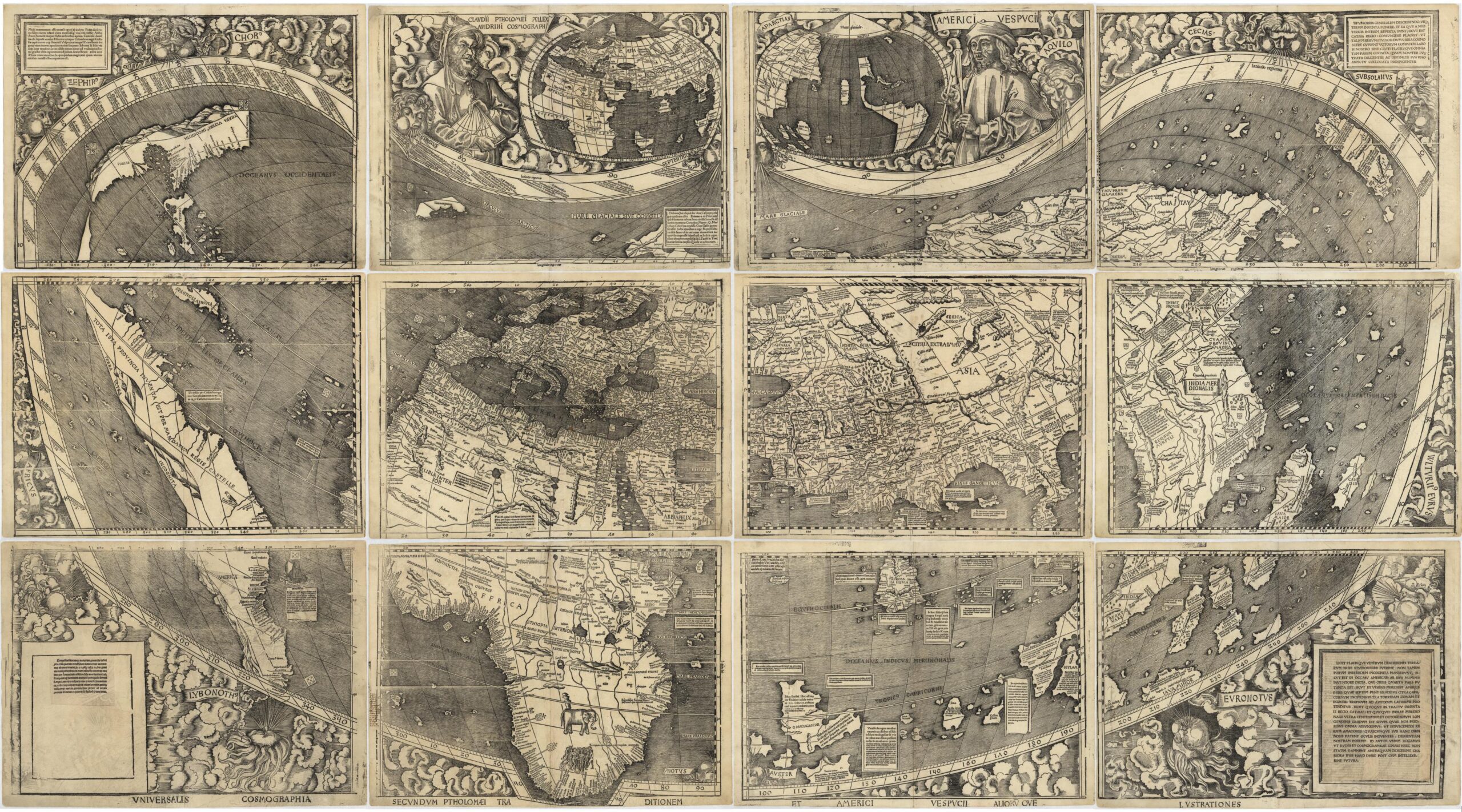
Read MoreThis second post in the Fabricating the World series explores mapmaking with woodblock printing.
Read MoreFascinating maps at various scales tell the story of the Battle of Forts Jackson and St. Philip, a pivotal moment in the Civil War and the contested fight for control of New Orleans and the Mississippi River.
Read More