Stunning, dramatic, seven feet wide and historically important, the Waldseemüller world map of 1507 will likely be familiar to many readers of this blog. You may have heard that it’s the earliest use of the word “America” to describe the continents of the western hemisphere, or the story of its rediscovery in a German castle in 1901 after being lost to history. But have you ever wondered how the map itself was made?
In this next installment of the Fabricating the World series, we’re going back – and forward – in time to look at a technology used for map printing in both Europe and Asia for hundreds of years. Called woodblock printing, woodcut, or sometimes xylography, it involves carving and inking blocks of wood with designs which are then impressed onto paper or another surface. Many maps in the Geography and Map Division collections, including the Waldseemüller map, were made using this method.
To make a woodblock print or woodcut, start with – you guessed it! – a block of wood. Cut away the wood everywhere except your intended design; it might help to draw it out first, and cut around your drawing, leaving a raised surface. As with other printing methods, your design needs to be in wrong-reading, mirror-image orientation, so it will appear right-reading in its final printed form. Next, you apply ink to the raised surface, and press the block onto paper.
Like copperplate printing, the technology I explored in my last Fabricating the World post, woodblock printing was a common way of printing images and illustrations. Unlike copperplate printing, woodblocks can easily be combined with text onto the same page. Both woodcut and letterpress are forms of relief printing and use the same kind of printing press.
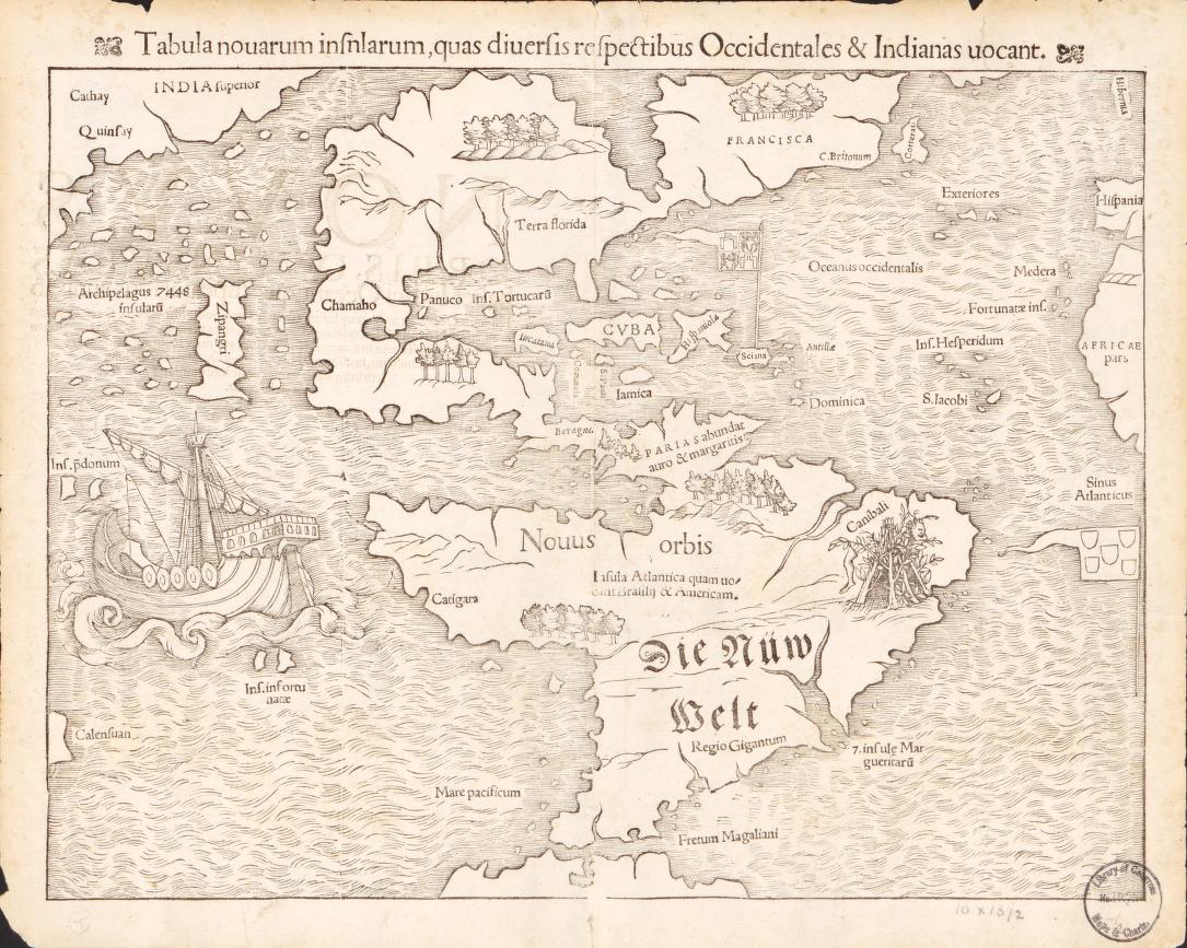
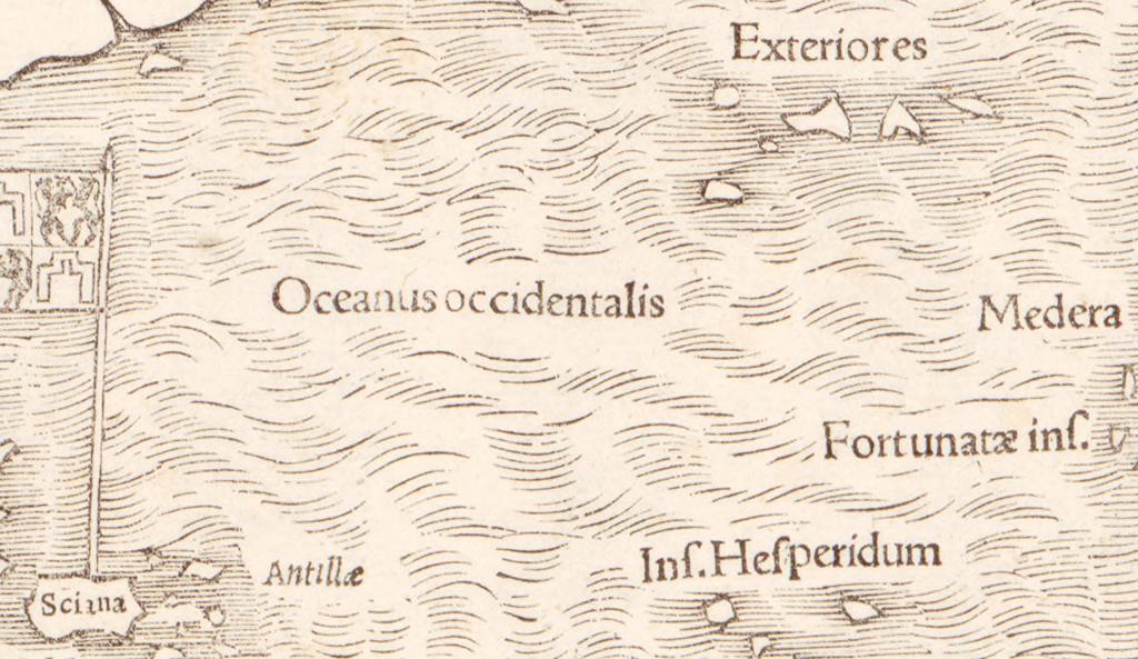
You can even cut a hole into your woodblock and insert a section of letterpress text. That’s likely what’s going on below in this map by Sebastian Münster; this detail shows several place names in the uniform, orderly style characteristic of pre-made foundry text. The narrow white border between each label and the surrounding image may be evidence that a section of the original woodblock was removed so the text could be fit in.
Woodcut illustrations could either be left in monochrome or colored. You could print in color by layering prints from multiple blocks, each with a different part of the final design. Frequently, however, color was added by hand, as with copperplate prints.
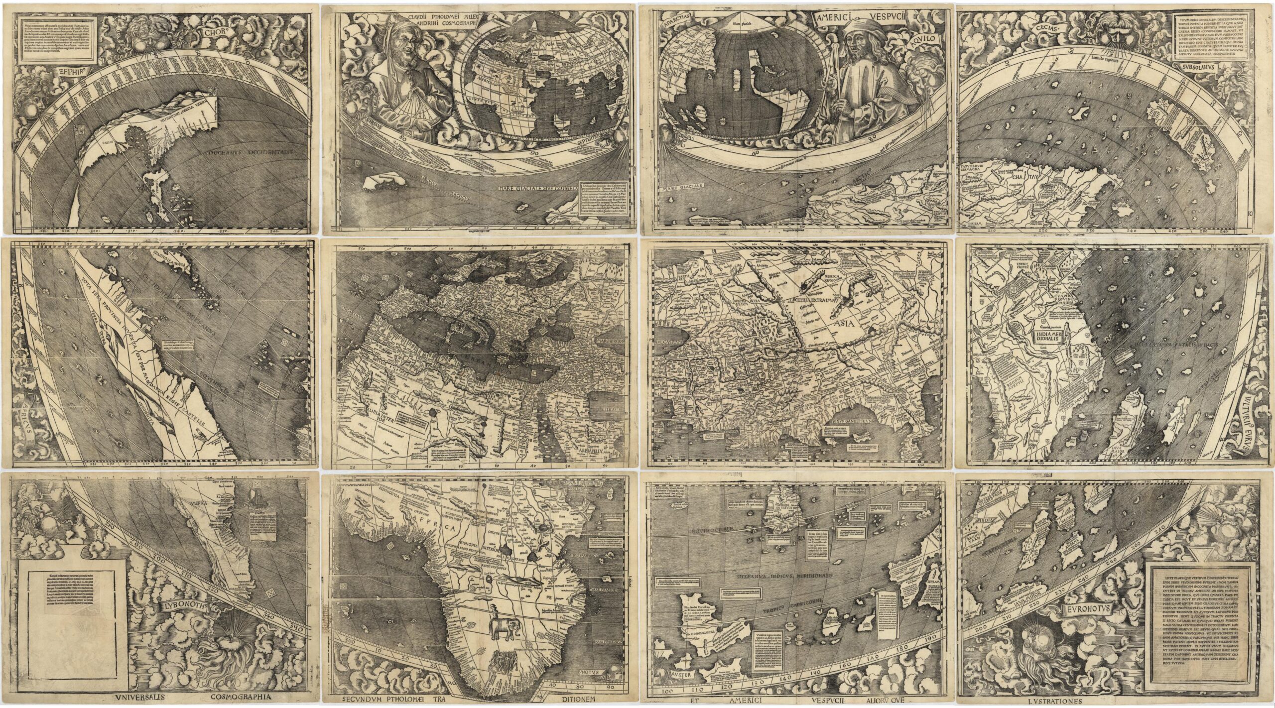
In Europe, woodblock printing was popular for maps until it was largely eclipsed by copperplate printing in the late 16th century. Ptolemaic atlases published across Europe in the 15th and 16th centuries provide lots of good examples:

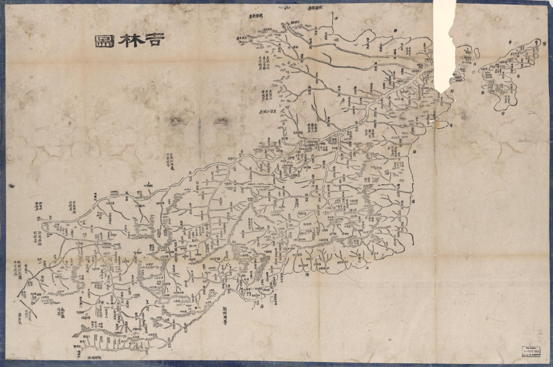
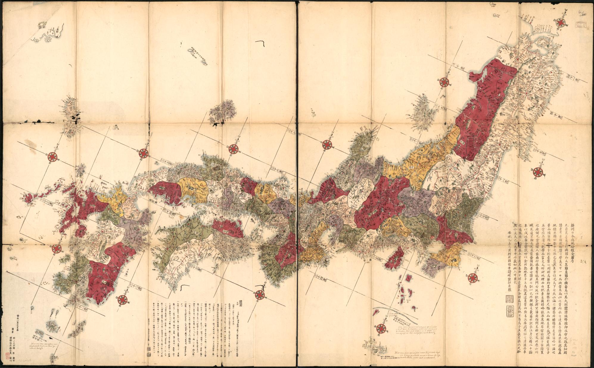
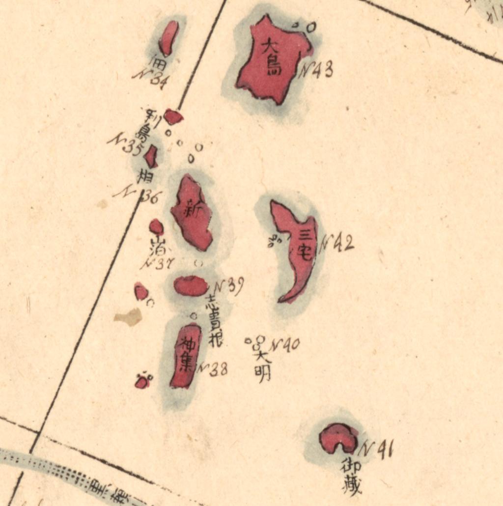
In Asia, where woodblock printing got an earlier start, it also stuck around longer. Woodblock printing has been used for both text and images since antiquity, and remained a popular art form into the 19th century. The Geography and Map Division collections include many examples of woodblock print maps from China, Japan, and Korea.

We don’t have many examples of woodblocks in the Geography and Map Division, but one we do hold is quite special. These four woodblocks were used to print the original Gerry-mander, a political cartoon published in the Boston Gazette in 1812.

The cartoon poked fun at the outlandish, dragon-like shape of newly-redrawn Massachusetts Senate districts. Governor Elbridge Gerry’s name was immortalized in the name of the dragon and in the term “gerrymandering.”


Learn more:
- The Story Map The Colorful World of Ukiyo-e by Gwenanne Edwards and Chloe Joyner of the Conservation Division explores the use of color in Japanese woodblock prints
- The research guide England and the Printing Press: A Subject Guide by Marianna Stell of the Rare Book and Special Collections Division includes many examples of early modern English woodcuts
Source: https://blogs.loc.gov/maps/2024/05/fabricating-the-world-printing-with-wood/